A shoreline problem is becoming a political problem
North Florida’s coastal communities are running out of room to pretend that sea level rise is a distant planning issue. It is already reshaping marshes, roads, drainage systems, and the economics of places that depend on tourism, waterfront property, and year-round sunshine. For local governments, the hard part is no longer whether the water will rise. It’s deciding who pays, who adapts, and what kind of coast North Florida wants to become.
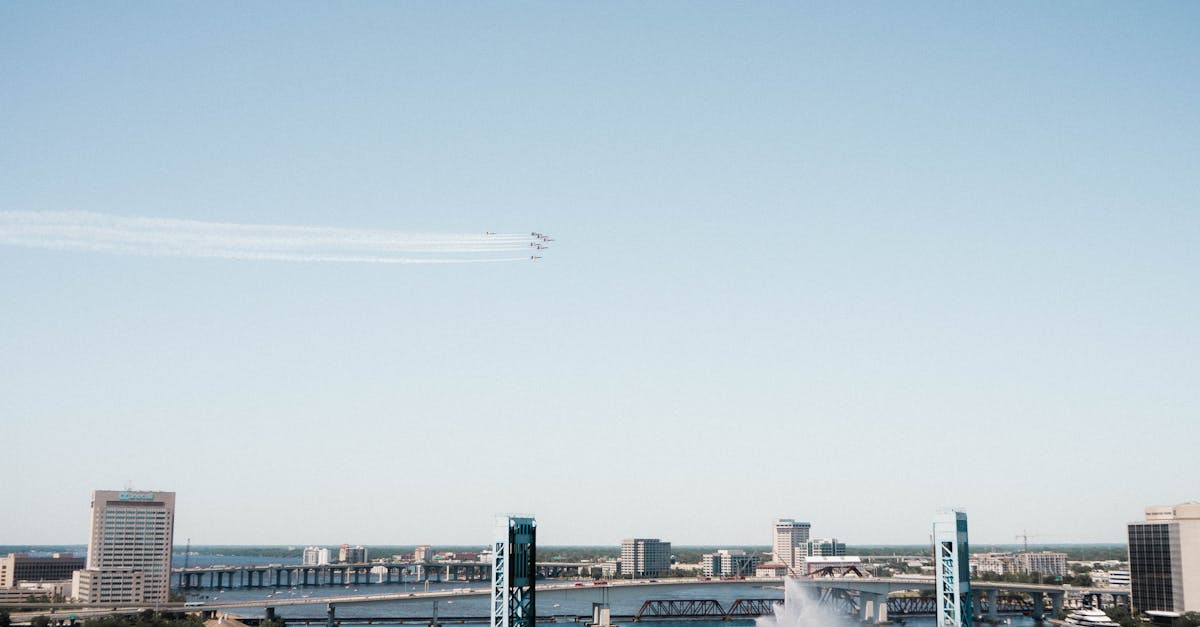
That question is landing with particular force along the St. Johns River, where tidal influence is pushing farther inland and low-lying neighborhoods are increasingly exposed to nuisance flooding. In a region where political identity is often tied to growth, development, and low taxes, the growing reality of climate risk is forcing an uncomfortable reckoning.
The politics of tourism in North Florida are colliding with the physics of rising seas.
Tourism built the economy — but it may also inherit the risk
Tourism has long been one of the region’s most politically protected industries. Beaches, riverside attractions, fishing, boating, golf communities, and historic districts are not just amenities; they are economic anchors. Local leaders know this. So do hotel operators, real estate investors, and chamber-of-commerce advocates who often frame coastal growth as a sign of prosperity.
But rising seas threaten the very assets that make North Florida attractive.
- Beach erosion reduces recreational shoreline and raises nourishment costs.
- Flooded roads and parking areas disrupt access to hotels, restaurants, and attractions.
- Saltwater intrusion can damage freshwater systems and landscapes.
- Insurance costs rise as risk becomes harder to ignore.
- Repeated flooding can erode public confidence in vulnerable destinations.
The result is a political contradiction. Communities keep marketing the coast as a place to invest and vacation while quietly spending more on pumps, drainage improvements, dune repair, and emergency response. Those costs rarely show up in glossy tourism brochures, but they are increasingly shaping municipal budgets.
For places near the St. Johns River, the problem is especially acute because flood risk isn’t limited to storm surge. Tidal flooding can happen on calm days. That means the old assumption — that disasters arrive only with hurricanes — no longer matches reality.
Sea level rise projections are changing the planning conversation
Recent sea level rise projections for Florida have become harder to dismiss because they now point toward more frequent flooding within the lifespan of current infrastructure. That matters politically. Roads, drainage systems, wastewater plants, bridges, and public facilities are built to last decades, not just election cycles.
In practical terms, North Florida’s planners are being asked to think in terms of: Sea Level Rise – Map Viewer – NOAA Climate.gov
- Higher baseline water levels
- More frequent tidal flooding
- Greater storm-surge reach
- Saltwater infiltration into soils and water systems
- Costly adaptation instead of optional upgrades
For local elected officials, this creates an uneasy split. Some see adaptation as an unavoidable responsibility. Others worry that acknowledging the scale of the threat could scare off development or invite criticism from voters who still believe coastal warnings are exaggerated.
That political tension is especially visible in county commission meetings and city council debates, where flood maps can become proxies for deeper arguments about growth, property rights, and the role of government. A higher sea level projection is not just a scientific forecast. It is a budgetary, legal, and ideological challenge.
The St. Johns River is a warning line
The St. Johns River is one of the clearest places to see North Florida’s climate future taking shape. Because it flows north and is tidal over long stretches, its lower basin is highly sensitive to Sea Level Rise – Florida Climate Center. That means flooding can push inland through canals, drainage systems, and low-lying neighborhoods far from the ocean itself.
This has implications beyond property damage.
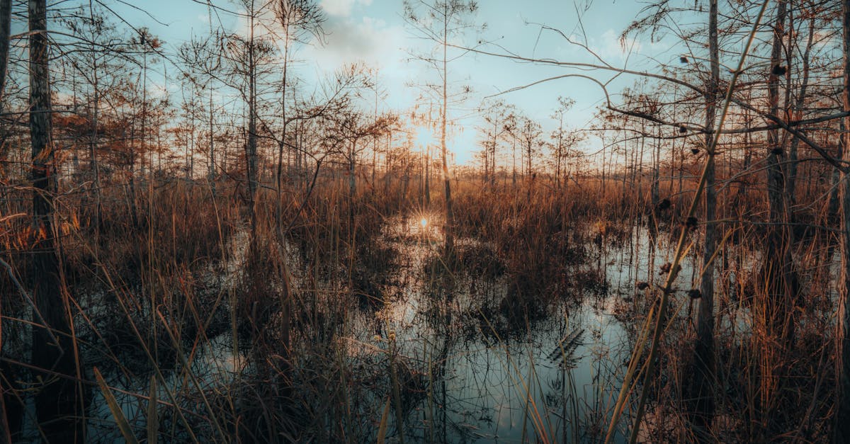
- Marsh migration can squeeze out wildlife habitat if development blocks landward movement.
- Septic systems may fail in chronically saturated areas.
- Stormwater infrastructure can become less effective as outlets are held open by higher tide levels.
- Water quality can worsen when floodwaters mobilize pollutants.
From a conservation perspective, the river is more than scenery. It is habitat, drainage corridor, recreation space, and a living indicator of how connected inland and coastal systems really are. Protecting the river means thinking beyond one shoreline and toward the entire watershed.
That’s where the politics get thornier. Conservation advocates often argue for preserving wetlands, limiting development in flood-prone areas, and restoring natural buffers. Growth-oriented interests tend to favor engineering fixes, sea walls, and continued construction, even in vulnerable zones. Both approaches cost money. Both involve tradeoffs. But only one tends to align with the long-term behavior of wetlands, tides, and sediment.
A choice between short-term tourism and long-term resilience
North Florida does not have to choose between visitors and resilience. But it may have to stop pretending the

Article orchestrated by Mobstacker’s WP Auto Muse Pro.